


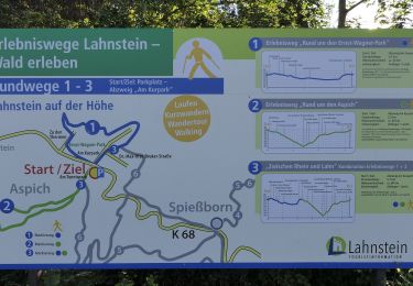
9,9 km | 13,8 km-effort

Tous les sentiers balisés d’Europe GUIDE+


Application GPS de randonnée GRATUITE
 SityTrail
IGN / Instituts géographiques
SityTrail World
Le monde est à vous
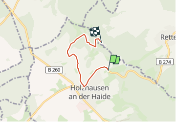
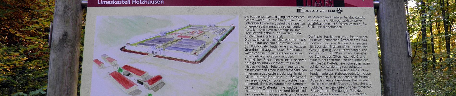
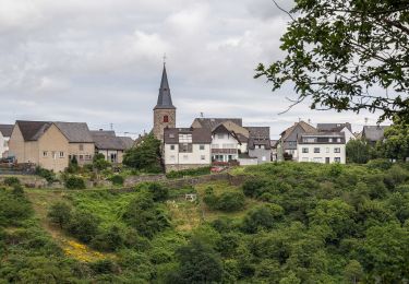
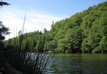
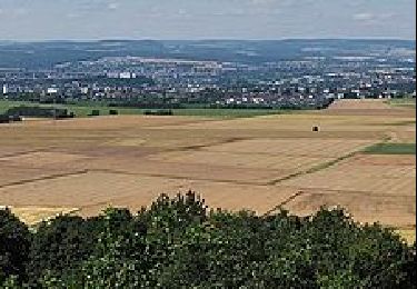
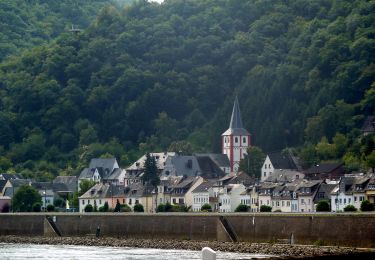
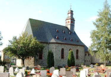
Randonnée A pied de 3,5 km à découvrir à Rhénanie-Palatinat, Rhein-Lahn-Kreis, Holzhausen an der Haide. Cette randonnée est proposée par SityTrail - itinéraires balisés pédestres.
Randonnée créée par ?.
Symbole: schwarz "H2" auf weißem Schild

A pied
A pied
A pied

A pied
A pied
A pied
A pied
A pied
A pied